(Migrated weblog post from LSR)
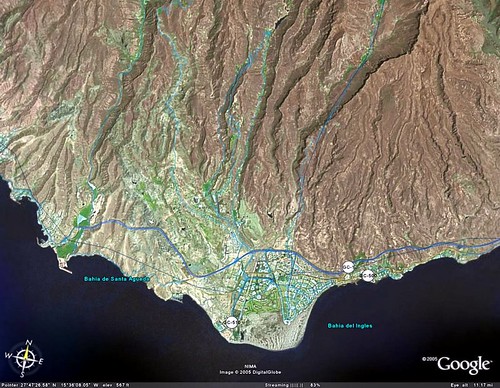
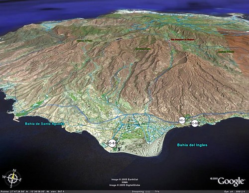
If you have been reading elsua lately you probably know by now that I have already weblogged about Google Earth and how impressive Google’s new gadget seems to be. Well, to be honest I did not expect that it would be so impressive. And if not take a look at this. A good friend, and colleague, of mine who knows I live in the South of Gran Canaria sent to me the following two snapshots he took from within Google Earth when he was just checking out the kind of place I live in.


The first one is the a snapshot from the South of the island from where you can see the Dunes of Maspalomas and the different towns that are very close to it. The second snapshot is even more stunning because it gives you a 3D overview of the island where you can see the combination of the mountains and the beach and the main reason why Gran Canaria is called the mini-continent.
As I go along in time I will be taking some more Google Earth pictures not only from the island but also from the different places I may get to visit, rather on holidays or while travelling for work. For the time if you want to take an ever more enlarged view of the pictures you can download them from here and from here.. I tell you if you really want to impress other people about the kind of place you live in Google Earth would be a perfect start. So go for it !
Hi there,
I am fascinated, how this could be possible, with Google Earth… Great!
Hi Sandman! Yes, indeed, those two pictures were taken from Google Earth by a good friend of mine who sent them over from the US stating how cool they were. And they are, indeed. If you haven’t checked out Gran Canaria lately using Google Earth I actually suggest you do, because you will be able to find some incredible pictures as well along the way ! Take care and thanks for dropping by and for the feedback!